Solving Geospatial Big Data Problem.
Cloud based data delivery, visualization and analysis to get the most out of your geospatial data.

Access Your Geospatial Data Anywhere
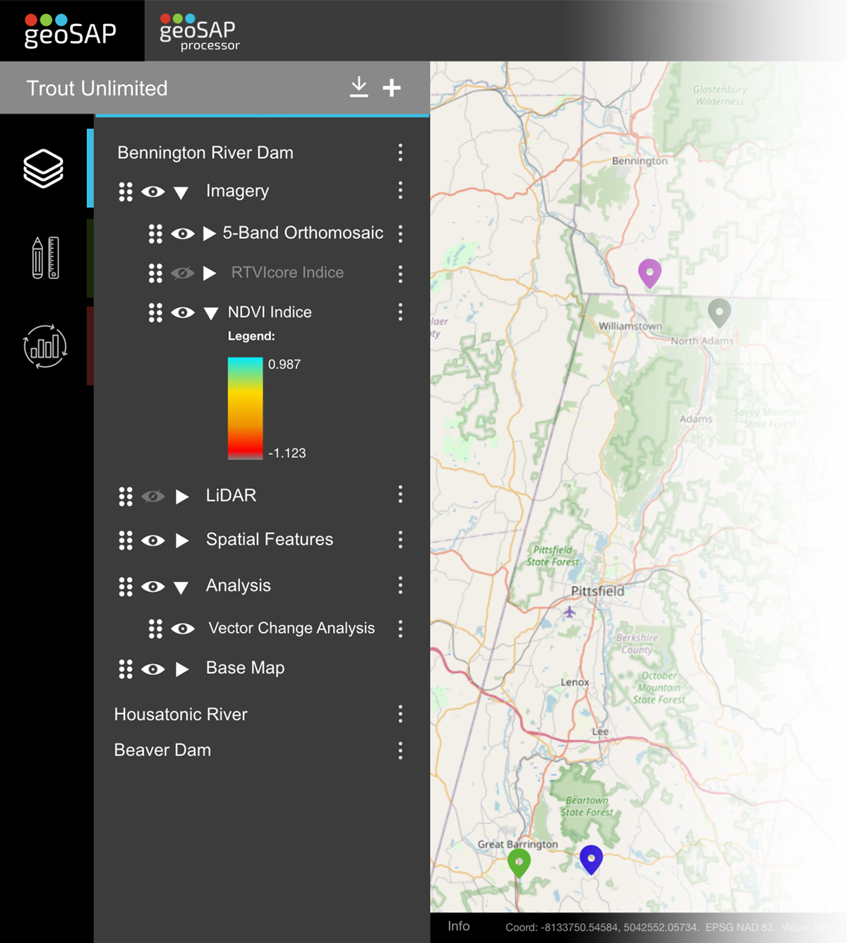
Large 3D LiDAR point clouds, multi-gigabyte orthomosaic images, one hundred million vertice vector shape files, geoSAP can deliver it all. geoSAP leverages modern data structures and cloud storage to delivery geospatial data on the web or on-premise, making it accessible and visual to anyone, anywhere.
- Easily upload data, organize data and build new projects.
- Measure, compare, analyze, and report on all data types.
- Visualize point clouds, imagery, and vector data.
- Share projects securely with key stakeholders.
- 100TB of data? No problem, securely upload projects through geoSAP Zipper.
Maximize the value of your geospatial data
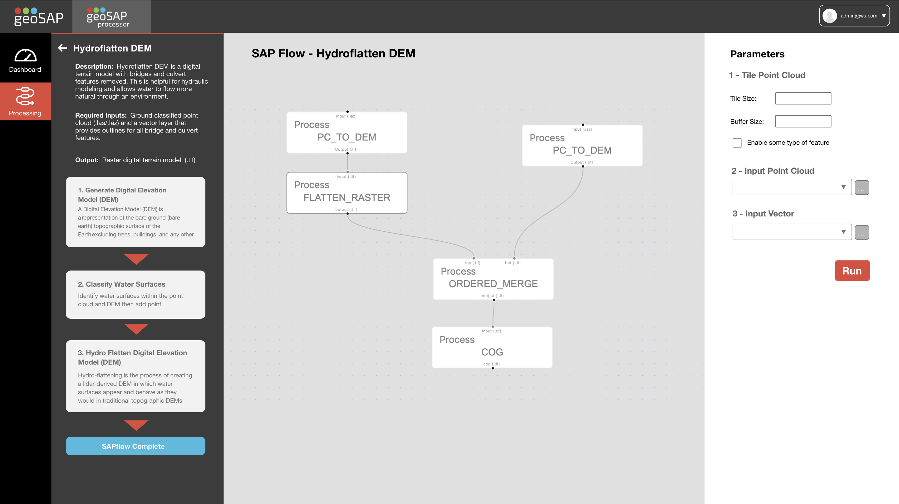
Our team at Whiteout Solutions has spent years developing a library of spatial analysis processes(SAPs) which we are making available to help you and your team get the most out of their geospatial data. From raster generation to multi-temporal change analysis, geoSAP processor instantly increases the value of your data.

Ready to see more? Schedule a demo with us.
Custom & On-Premise Deployment Solutions
Explore custom configurations that maximize your performance and ensure your organization can deliver geospatial data at scale.
+ Custom Cloud Configuration
+ On-Premise Deployment
+ Unlimited Data Storage
+ Unlimited Processing
+ Dedicated Upload Connection
+ Custom Process Development
+ All standard features
+ Custom Contract Terms
+ Dedicated Support